
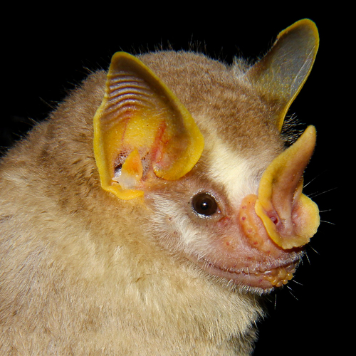
Rosenberg’s Fruit-eating Bat
Dermanura rosenbergi
Red List assessment
Data Deficienton the IUCN Red List
- EXExtinct
- EWExtinct in the Wild
- CRCritically Endangered
- ENEndangered
- VUVulnerable
- NTNear Threatened
- LCLeast Concern
Data Deficient has no position on the scale above — it records the absence of an assessment, not a degree of risk.
The IUCN Red List records the Rosenberg’s Fruit-eating Bat as Data Deficient.
- Genus
- Dermanura
- Red List category
- Data Deficient
- Data updated
- August 9, 2026
We haven't written this profile yet
The Rosenberg’s Fruit-eating Bat is one of the mammals assessed by the IUCN Red List, so it has a page here — with its scientific name, Dermanura rosenbergi, its conservation category and, where one is known, a recorded observation on the map. What is missing is the rest: habitat, distribution, diet, behaviour, threats and the conservation work under way.
Each profile is researched and checked one species at a time, and there are thousands to go. You can put this one at the front of the queue.
In the meantime, the full assessment is on the IUCN Red List.
Questions about the Rosenberg’s Fruit-eating Bat
Is the Rosenberg’s Fruit-eating Bat endangered?
The IUCN Red List assesses the Rosenberg’s Fruit-eating Bat as Data Deficient. There is not enough information to judge the risk of extinction, usually because the species is rarely seen or has never been surveyed. It is not a reassuring category: several species were Data Deficient right up to the point they were found to be Critically Endangered.
What is the scientific name of the Rosenberg’s Fruit-eating Bat?
The Rosenberg’s Fruit-eating Bat is Dermanura rosenbergi.
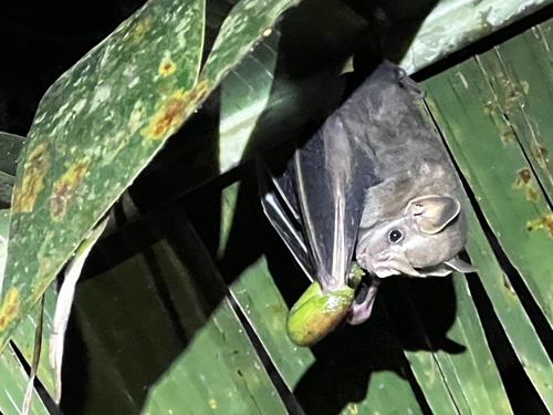
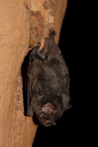
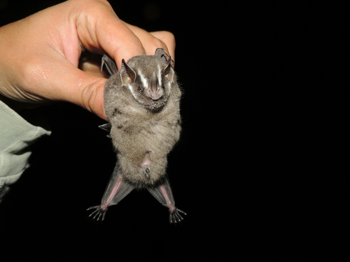
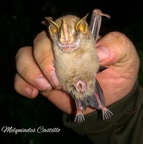
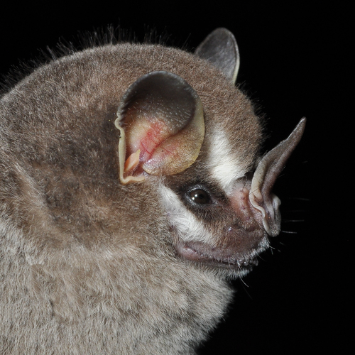
Other species in the genus Dermanura
Sources
Conservation status, range description and population estimate come from the IUCN Red List assessment for Dermanura rosenbergi. Countries are derived from that range description, not from a mapped country list. Last refreshed on .
The distribution map is drawn from the IUCN Red List spatial data compiled in 2015. IUCN (International Union for Conservation of Nature)